 Garmin Pilot
Manage Your Garmin Pilot App Subscription
View subscription options, manage your devices and more.
New Users:
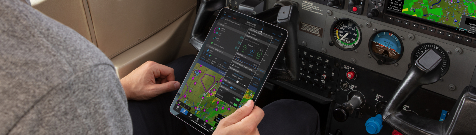
The Garmin Pilot app puts full-featured flight navigation right at your fingertips. Interested in flying with Garmin Pilot? Visit Garmin.com to learn more.